A new study in Global Biogeochemical Cycles shows that northern Alaska is sending more freshwater and more long-frozen organic carbon into the sea as permafrost thaws, with the biggest changes appearing late in the warm season. Led by Michael A. Rawlins at the University of Massachusetts Amherst, the work offers one of the clearest pictures yet of how rapidly warming Arctic land is reshaping rivers, coastal waters and a climate-sensitive carbon pathway that has been difficult to measure directly.
That matters well beyond Alaska. Arctic rivers already punch above their weight in the Earth system, delivering an unusually large share of the planet’s river water into the relatively small Arctic Ocean. When the chemistry and timing of that flow begin to change, downstream effects can ripple through salinity, coastal food webs, nutrient cycles and the balance between carbon stored on land and carbon released back to the atmosphere.
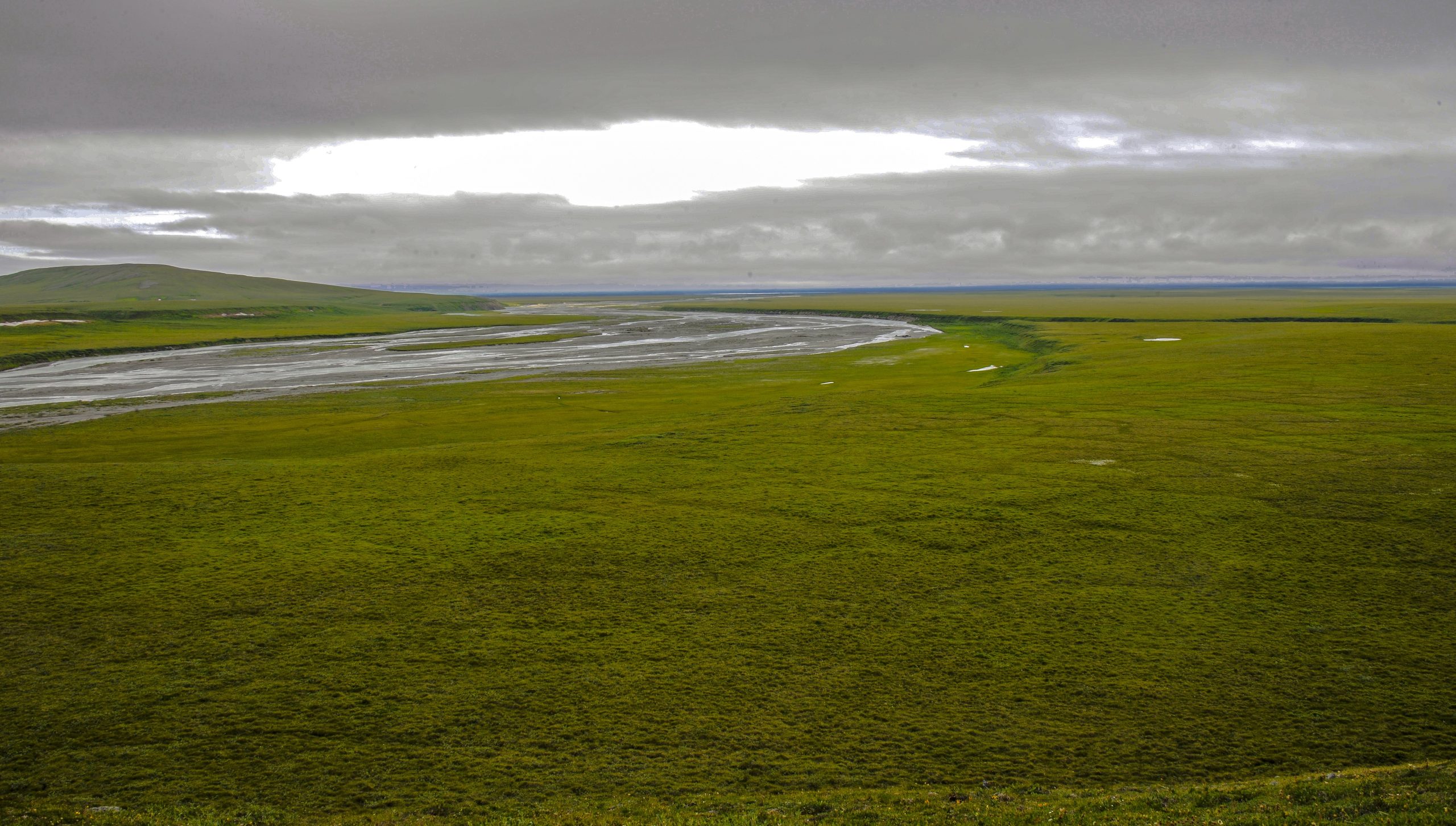
The new research focuses on Alaska’s North Slope, a vast tundra region draining into the Beaufort Sea. It is remote, sparsely monitored and changing quickly. Instead of relying only on limited field measurements, the team used a detailed modeling system to reconstruct 44 years of hydrology and dissolved organic carbon movement, covering the period from 1980 to 2023 at a resolution of just 1 kilometer.
That fine-scale view revealed three linked trends: runoff is rising, more dissolved organic carbon is being flushed into rivers and estuaries and the seasonal thaw is stretching further into late summer and autumn. In other words, the Arctic’s plumbing is changing and so is the material moving through it.
Frozen ground is turning into a carbon source
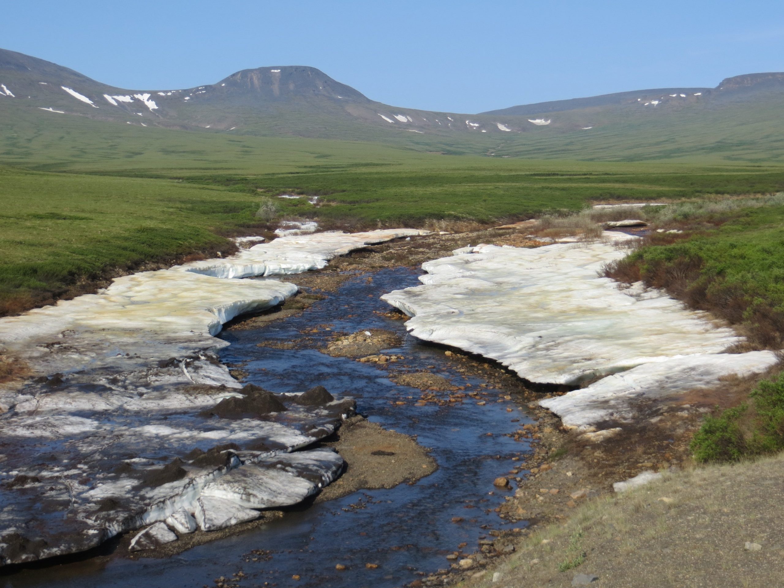
Permafrost is soil that stays frozen for at least two consecutive years, but above it sits a surface zone known as the active layer, which thaws each summer and refreezes in winter. As Arctic air temperatures climb, that active layer is deepening. Water can then move through more soil, interact with more buried organic matter and carry a larger share of that material into rivers.
Some of that carbon is ancient. Plant matter and other organic debris have been locked into frozen ground for thousands and in some places tens of thousands, of years. Once thawed, microbes can begin breaking it down and flowing water can mobilize it as dissolved organic carbon, or DOC. That carbon may then be processed further in streams, estuaries and the ocean, where part of it is ultimately converted into carbon dioxide.
It is a classic climate feedback. Warming thaws permafrost. Thaw releases old carbon. Some of that carbon ends up back in the atmosphere as greenhouse gas, which drives more warming and more thaw. Scientists have been aware of the risk for years, but pinning down how much carbon is moving from land to water and when, has remained a major challenge.
Rawlins and colleagues set out to fill part of that gap by examining not just whether northern Alaska is changing, but how the hydrological cycle itself is intensifying across the region’s rivers and estuaries.
Why Arctic rivers matter so much
At first glance, rivers flowing into the Arctic Ocean might seem like a local issue. They are not. The Arctic Ocean contains only a small fraction of the world’s ocean water, yet it receives an outsized pulse of river discharge from the surrounding land. That makes it unusually sensitive to upstream change.
If more freshwater arrives, coastal salinity can shift. If more dissolved organic carbon arrives, water color, light penetration, microbial activity and nutrient cycling can also shift. These changes can cascade through estuarine ecosystems that support fish, birds and marine mammals, while also altering the chemistry of nearshore waters already under pressure from sea ice loss and warming.
For climate scientists, the rivers are also a connection point between thawing land and the ocean-atmosphere system. A permafrost carbon release does not only happen where the soil warms. It can travel. It can be transformed. It can be emitted somewhere far from where it was stored.
That makes river export a critical, but still under-resolved, piece of the Arctic carbon budget.
A model built for places with few measurements
Northern Alaska is scientifically important, but it is not easy to sample. River gauges are sparse. Water chemistry records are patchy. Weather and logistics limit how often scientists can collect measurements across such a huge and remote area. That means researchers often know a great deal about a few field sites, but much less about the broader landscape between them.
To overcome that problem, the team used the Permafrost Water Balance Model, a system developed over roughly 25 years to simulate snow accumulation, snowmelt, soil thaw, subsurface water movement, runoff and related land-surface processes. In 2021, the model was expanded to include dissolved organic carbon, making it possible to track both water and carbon export together.
What makes this study stand out is its resolution. Earlier versions commonly used grid cells of around 25 kilometers. Here, the researchers ran the model at 1-kilometer resolution across an area about the size of Wisconsin. That is a major step up in spatial detail, especially for a region where local topography, soil type, ice content and hydrological pathways can strongly affect what reaches streams.
The computational burden was heavy. According to the researchers, each run required about 10 continuous days on a supercomputer at the Massachusetts Green High Performance Computing Center. But the result is an unusually sharp record of daily river flows and coastal exports over more than four decades.
Runoff is increasing and the thaw season is getting longer
One of the clearest signals in the new work is that more water is moving off the land. Snowmelt is still important, especially in spring, but subsurface flow is becoming more significant as the active layer deepens and more thawed soil can transmit groundwater to streams.
This is not simply a story of wetter weather. It is also a story of changing pathways. Water that once stayed locked in frozen ground is increasingly able to move through soil profiles and pick up dissolved materials on its way to rivers.
The timing has shifted, too. The study found that the thaw season now extends later into the year, in some cases into September and October. That means the window for carbon mobilization is widening. Instead of a relatively short burst dominated by spring snowmelt, northern Alaska is seeing stronger late-season contributions linked to ongoing permafrost thaw.
That longer season may sound like a subtle change, but it can alter the whole shape of annual river export. It means more opportunities for groundwater-fed transport, more interaction with deeper soil carbon and a larger chance that late-summer and autumn storms can flush carbon-rich water into estuaries.
For coastal ecosystems, timing can matter as much as total amount. A pulse of freshwater and DOC arriving later in the year can interact differently with biological productivity, sea ice formation, mixing and estuarine residence times than an early summer surge would.
Northwest Alaska appears especially vulnerable
The study also found that the increase in dissolved organic carbon export is not uniform across the North Slope. The largest gains appear in the northwest.
That regional pattern likely reflects geology and terrain. Flatter ground in the northwest has allowed organic-rich material to accumulate over very long periods, building up a larger stock of thaw-sensitive carbon in the permafrost. In contrast, more mountainous eastern areas tend to have rockier and sandier soils, which generally hold less organic matter available for mobilization as DOC.
This is an important reminder that permafrost thaw is not one process unfolding identically across the Arctic. Local landscape features matter. Soil texture matters. Relief matters. The amount of buried carbon matters. Two areas may warm at similar rates yet export very different amounts of carbon because their frozen ground contains different raw material to begin with.
For monitoring and prediction, that means high-resolution mapping is essential. Broad Arctic averages can hide hotspots where thaw-driven carbon release is accelerating fastest.
What happens to the carbon once it reaches the water?
Dissolved organic carbon is not automatically equivalent to atmospheric carbon dioxide. Some of it can be buried, some can be transported farther offshore and some can be transformed by sunlight or microbes into gases. But once ancient organic matter is thawed and mobilized, it has entered a much more active part of the carbon cycle.
That is one reason scientists pay close attention to DOC. It represents carbon that has moved out of long-term frozen storage and into a form that ecosystems and geochemical processes can work on. In Arctic coastal waters, that can influence water chemistry directly while also setting the stage for later greenhouse gas production.
The researchers note that the Arctic Ocean already receives a disproportionate share of this land-derived organic carbon. A substantial fraction is eventually converted into carbon dioxide, adding yet another climate pressure to a region already warming much faster than the global average.
There are ecological consequences as well. More DOC can darken water and reduce light penetration, affecting photosynthesis. It can fuel microbial respiration, which changes oxygen demand and carbon processing. It can also carry nutrients and interact with trace metals, altering the chemistry of lagoons and nearshore habitats.
Along the Beaufort Sea coast, where shallow lagoons and estuaries form a delicate boundary between land and ocean, even moderate shifts in freshwater and carbon delivery can reshape habitat conditions.
A missing link in climate forecasts
Permafrost is widely recognized as one of the most important climate tipping elements under active study, yet there is still large uncertainty around how fast thawed carbon will move through real landscapes. The land-to-ocean route has been especially difficult to include with confidence in global climate thinking.
This new study helps close that gap by showing how permafrost thaw, hydrology and coastal export are connected over time and across a large, heterogeneous region. It is not merely that the ground is thawing. It is that thaw is reorganizing the movement of water itself and water is the carrier that links frozen soils to rivers, estuaries and the ocean.
That makes the findings useful beyond basic research. Better estimates of freshwater and DOC delivery can improve coastal ecosystem studies, help interpret changes in salinity and water quality and provide boundary conditions for marine and biogeochemical models. The results may also aid ongoing work in projects focused on Beaufort Sea lagoons and estuaries, where scientists are trying to quantify exactly what material is arriving from land.
The study was supported by the U.S. National Science Foundation and NASA, underlining how central Arctic change has become to national and international climate research.
The bigger picture
There is a temptation to think of permafrost thaw as a slow background problem unfolding in a distant landscape. Research like this suggests something more immediate and more dynamic. Northern Alaska’s rivers are already changing in measurable ways. They are carrying more water. They are carrying more old carbon. And they are doing so over a longer thaw season than they once did.
Those are not isolated details. Together, they describe an Arctic system that is becoming more connected, more mobile and more reactive as warming proceeds. Carbon that sat frozen underground through millennia is now being pulled into active circulation through rivers that empty into one of the planet’s most climate-sensitive oceans.
There is still much to learn, especially about how much of this exported carbon is ultimately released as greenhouse gas and how coastal ecosystems will respond to the changing mix of freshwater, nutrients and organic matter. The role of features such as ice wedge polygons, common across Arctic tundra, is also an active area of investigation because these landforms can steer how water and carbon move across the landscape.
But the direction of travel is clear. In northern Alaska, permafrost thaw is no longer just a land problem. It is becoming a river problem, an estuary problem, an ocean problem and, by extension, a global climate problem.
As scientists continue refining measurements and models, one lesson is already hard to ignore: when frozen ground starts to fail, the consequences do not stay put. They flow.